RANDONNEE LA BOUCLE DE MARINESQUE À CAMBELLIÈS
- non


Contact
RANDONNEE LA BOUCLE DE MARINESQUE À CAMBELLIÈS
Presentation
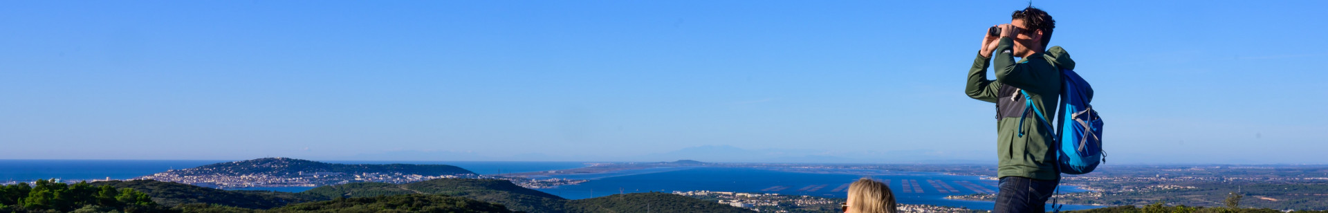
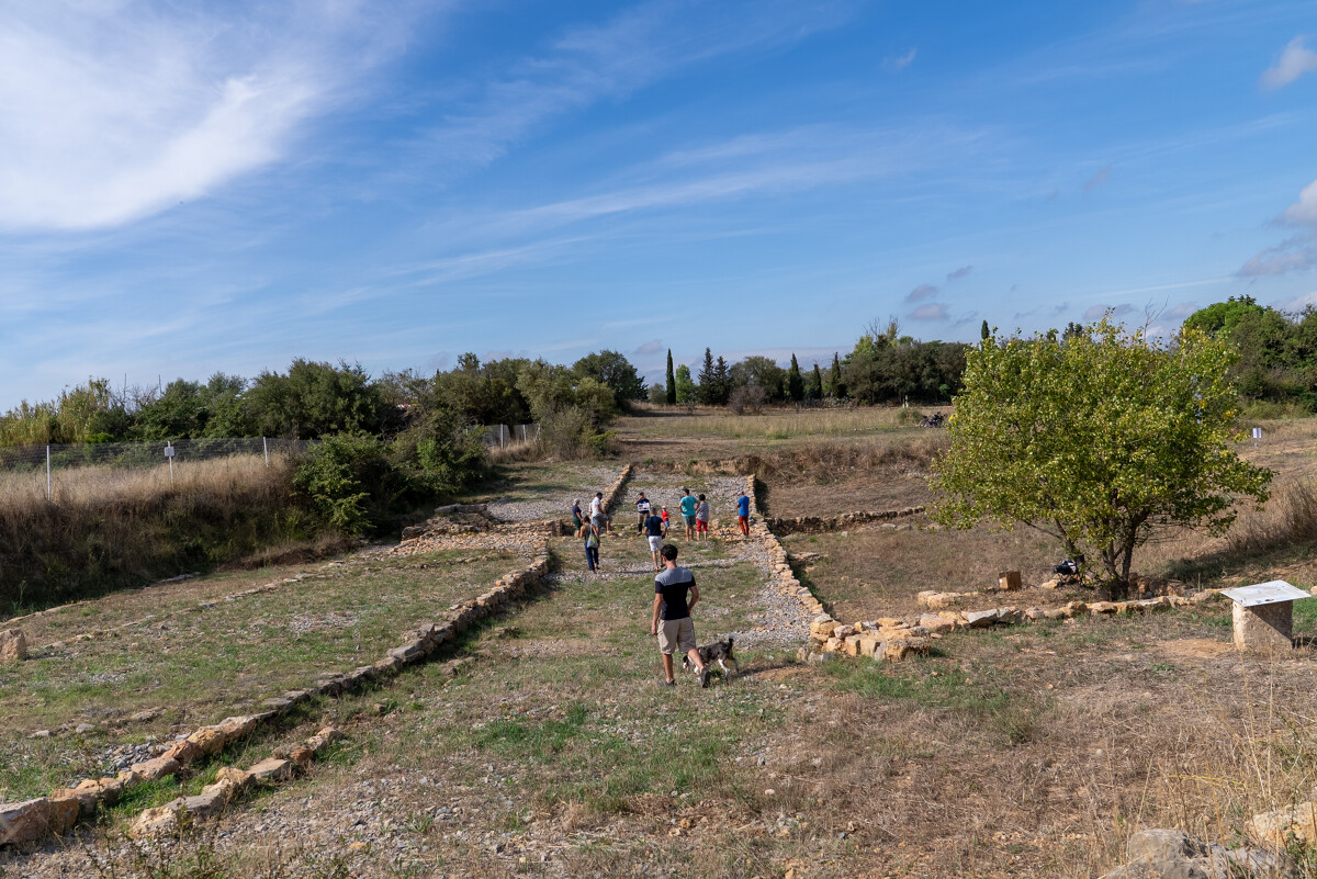
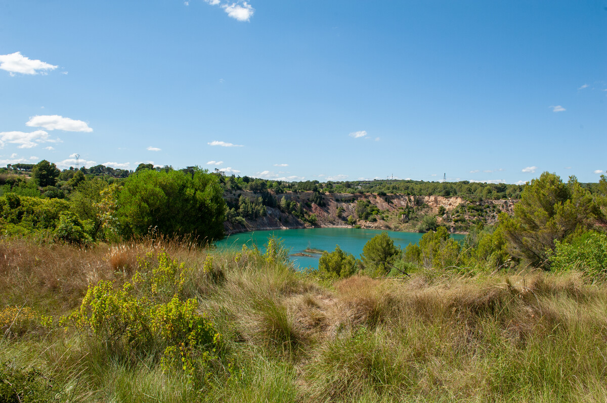
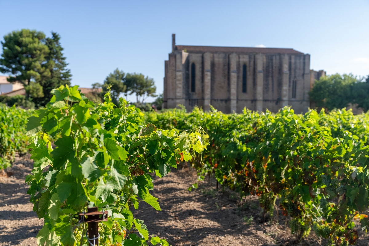
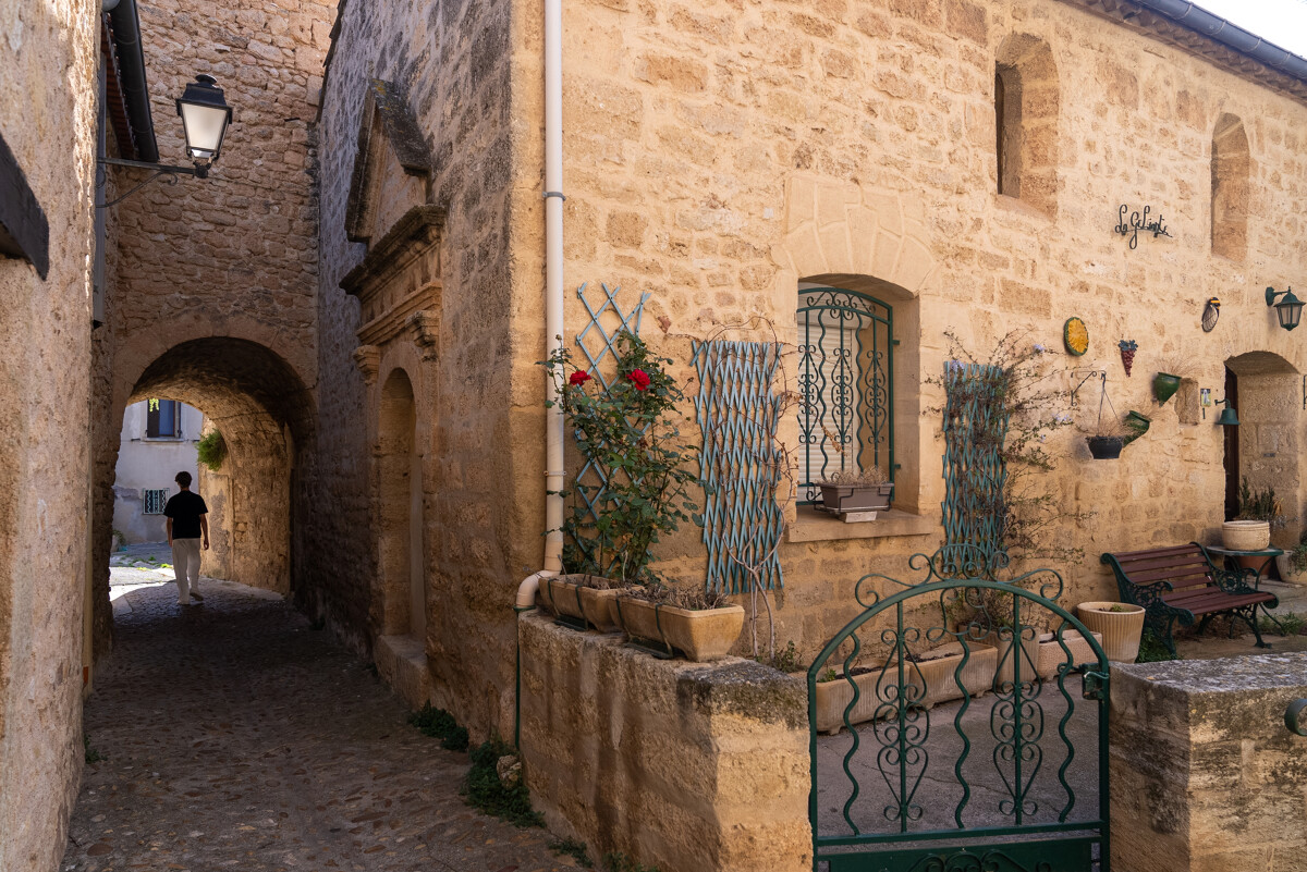
North of the Etang de Thau, this loop takes you to the Gallo-Roman site of Marinesque and the Via Domitiana, before crossing the garrigues and forest of the collines de la Moure. The route then reaches Lac de Cambelliès, a former bauxite mine turned bird sanctuary, before returning to Loupian through vineyards and garrigues, with beautiful panoramic views over the Thau lagoon.
- Type d'itinéraire :
- Pédestre
- Thématique :
- Historique
- Naturel
- Visites de villes et villages
- Level :
- Moderate
- Distance :
- Distance 11
- Durée en heures :
- 03:00
- Dénivelé positif :
- Dénivelé 130
- Dénivelé négatif :
- Dénivelé négatif 130
- Itinéraire boucle :
- oui
- Balisage :
- Jaune PR
FICHE_INFO_TITRE_ACCESSIBILITE
||||||1||#||||||2||#||||||3||#||||||4||#||||||5||#||||||6||#||||||7||
Destination
RANDONNEE LA BOUCLE DE MARINESQUE À CAMBELLIÈS
GPS coordinates
Latitude : 43.4507957
Longitude : 3.61608474