RANDONNEE DES COLLINES DE LA MOURE


Contact
RANDONNEE DES COLLINES DE LA MOURE
Presentation
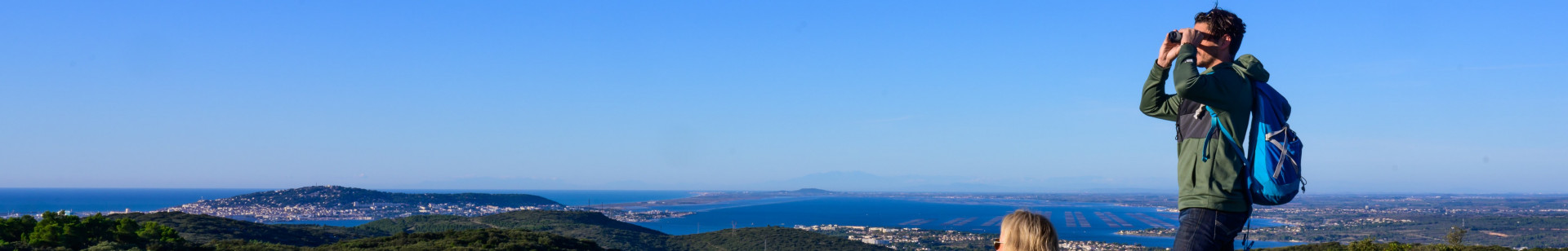
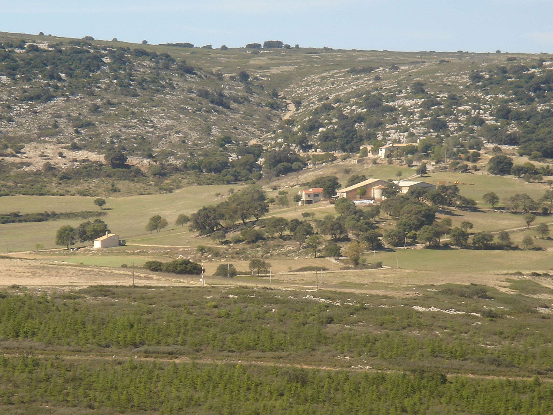
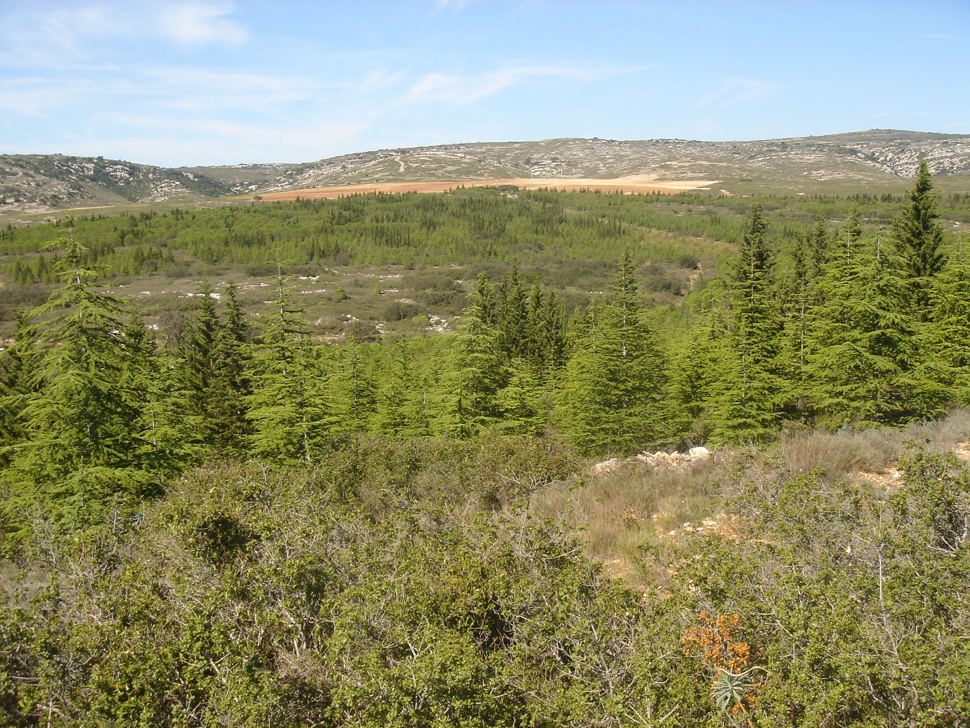
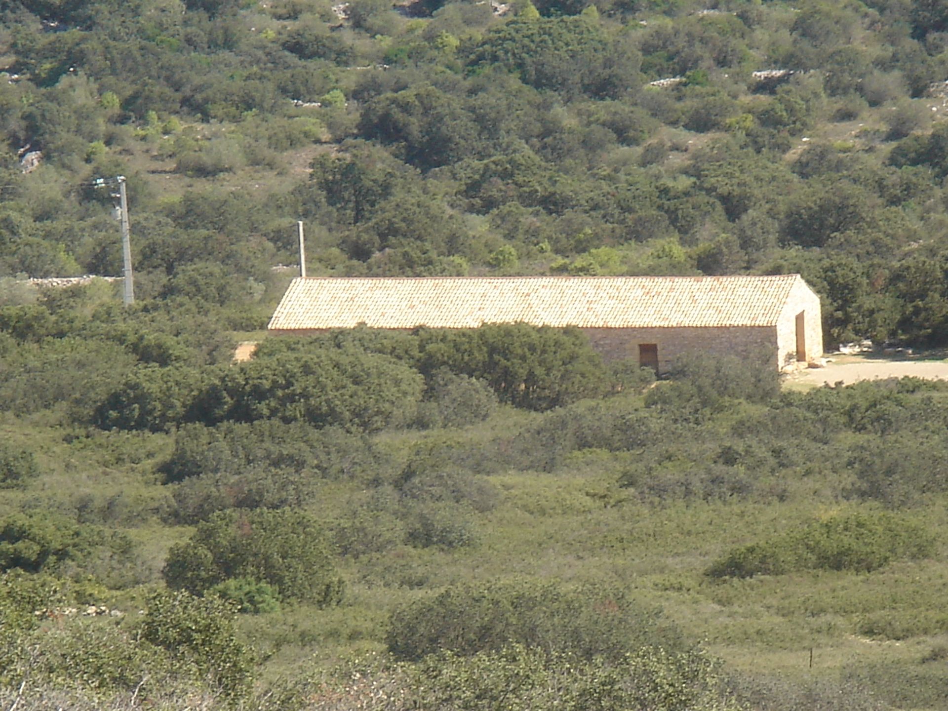
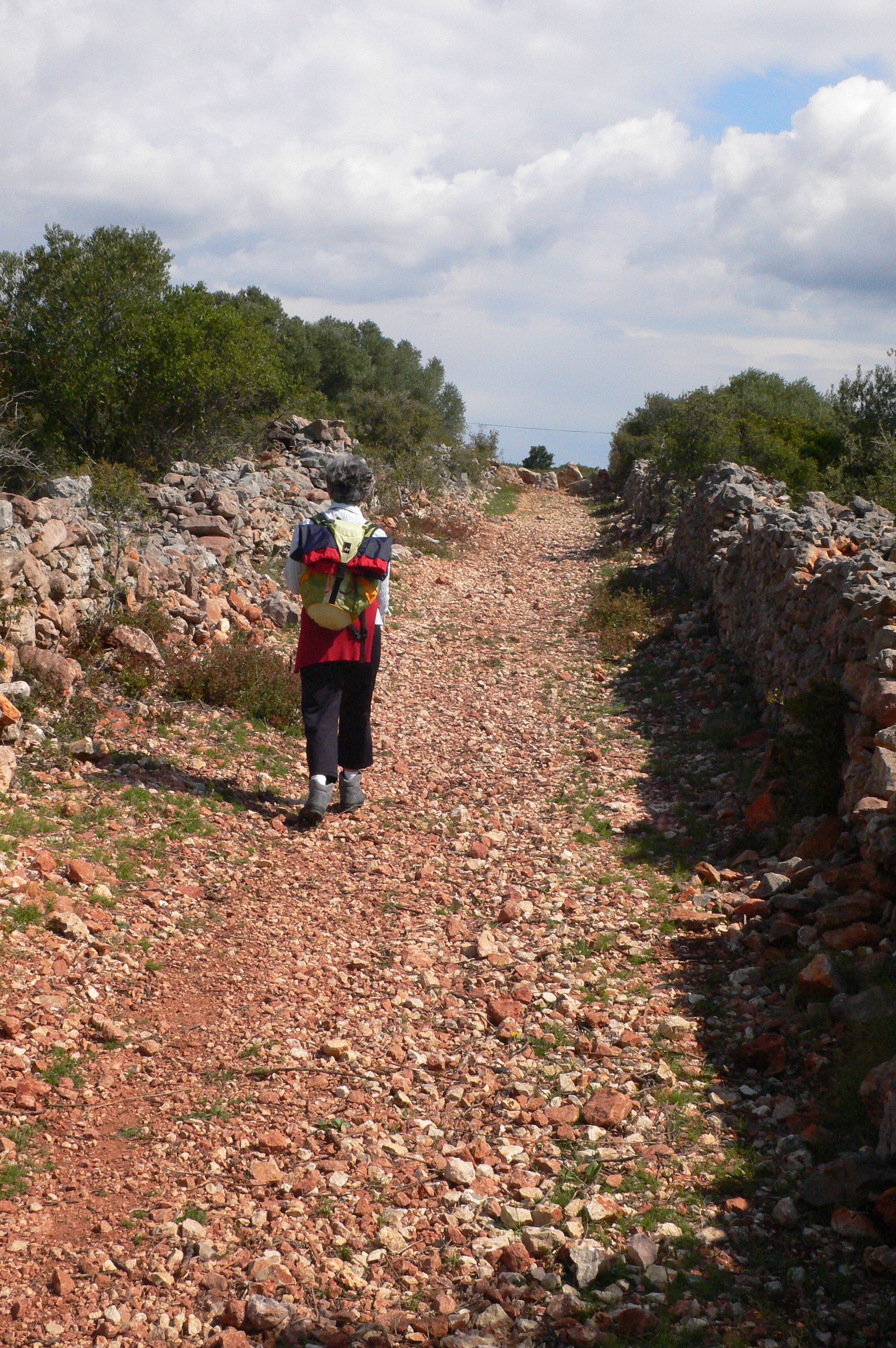
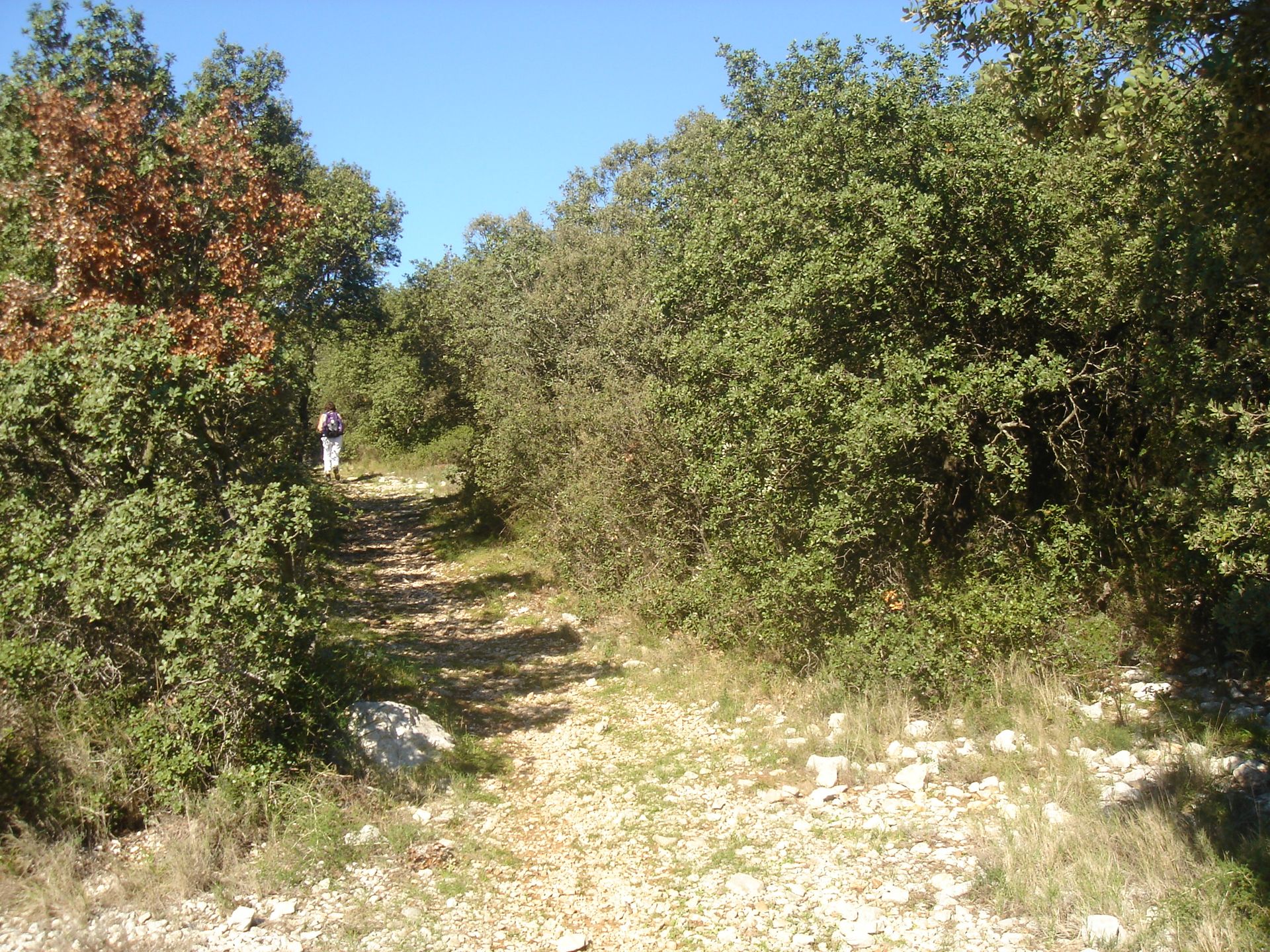
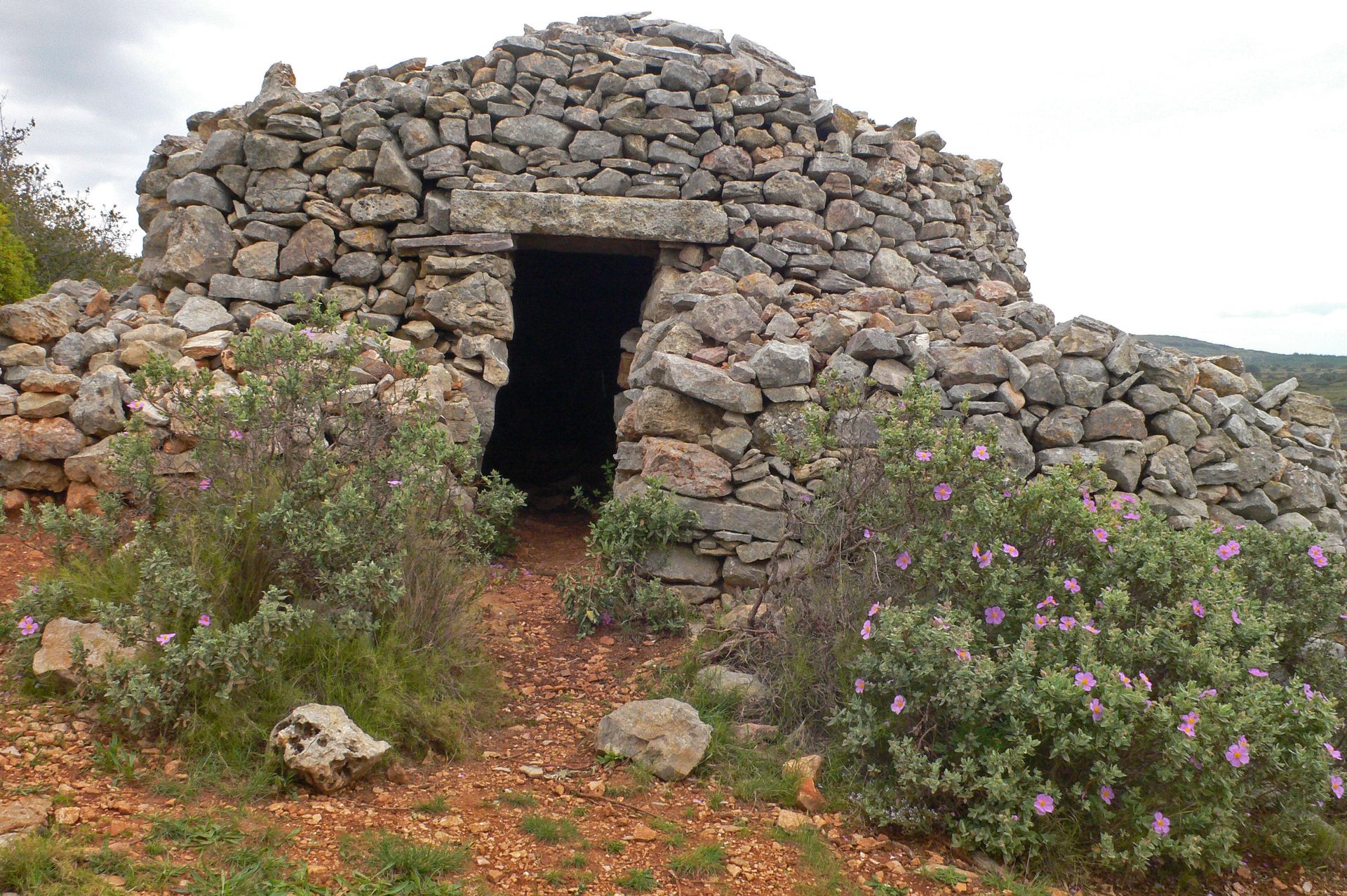
This route threads its way through the kermes oaks that cover the foothills of Aumelas plateau, and leads to a view point overlooking the blue waters of Thau lake.
- Type d'itinéraire :
- Pédestre
- Thématique :
- Naturel
- Level :
- Moderate
- Distance :
- Distance 13
- Durée en heures :
- 04:00
- Dénivelé positif :
- Dénivelé 280
- Dénivelé négatif :
- Dénivelé négatif 280
- Itinéraire boucle :
- oui
- Balisage :
- Jaune PR
FICHE_INFO_TITRE_ACCESSIBILITE
||||||1||#||||||2||#||||||3||#||||||4||#||||||5||#||||||6||#||||||7||
Destination
RANDONNEE DES COLLINES DE LA MOURE
GPS coordinates
Latitude : 43.5134275
Longitude : 3.69622076