RANDONNÉE BALADE DES GUEULES ROUGES
- non


Contact
RANDONNÉE BALADE DES GUEULES ROUGES
Presentation
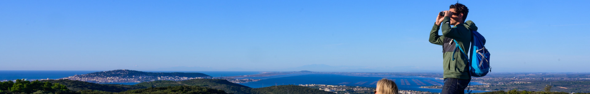
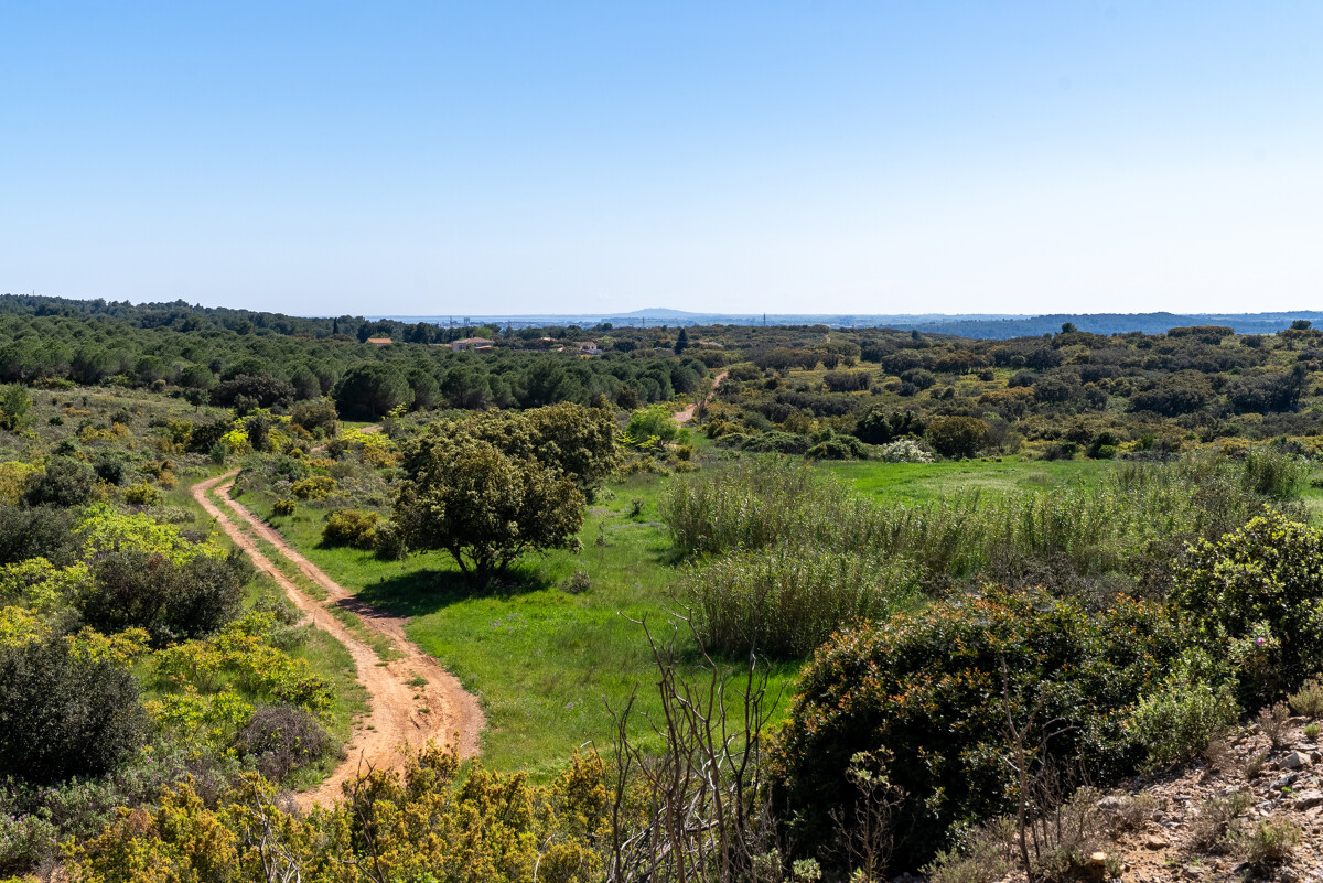
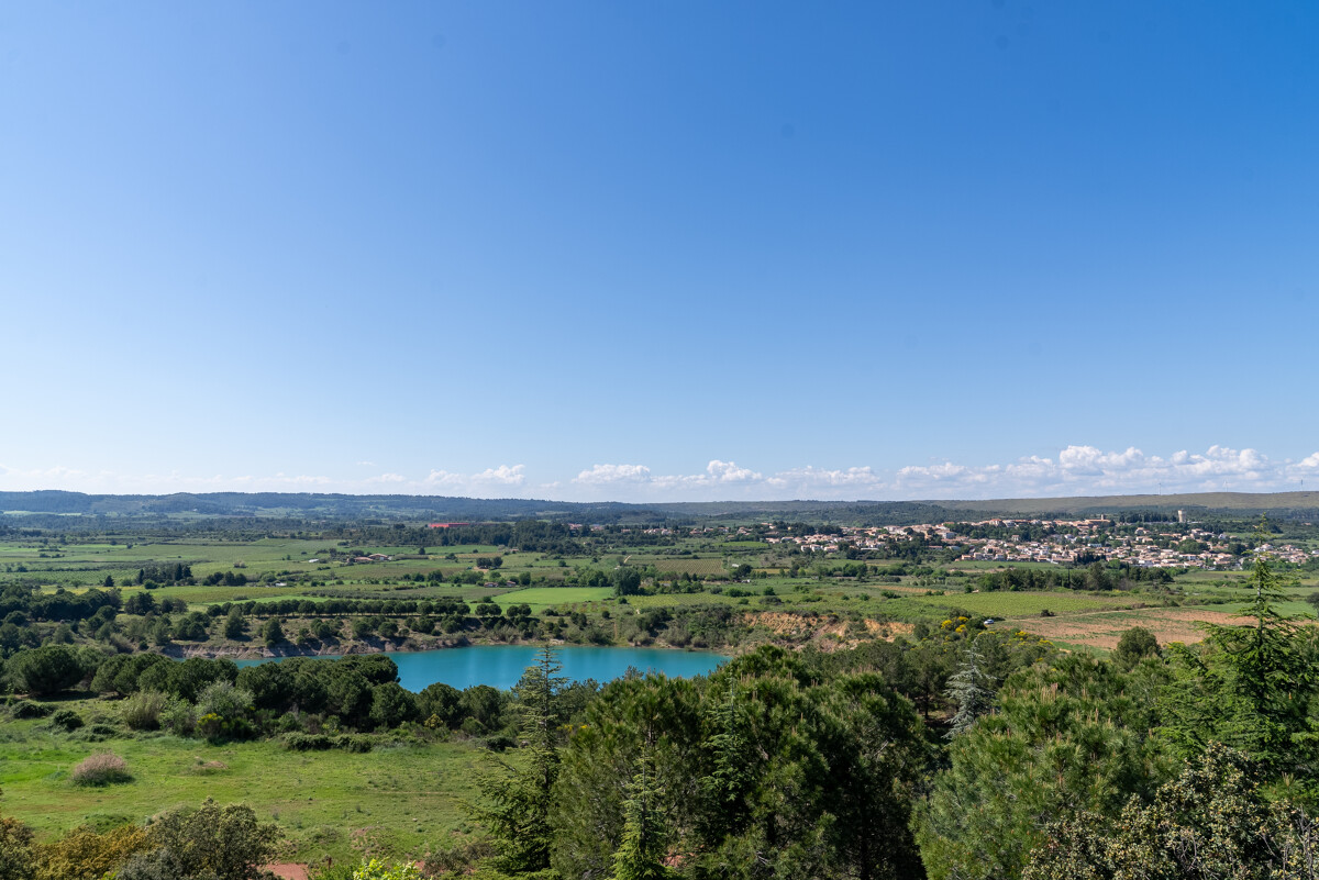
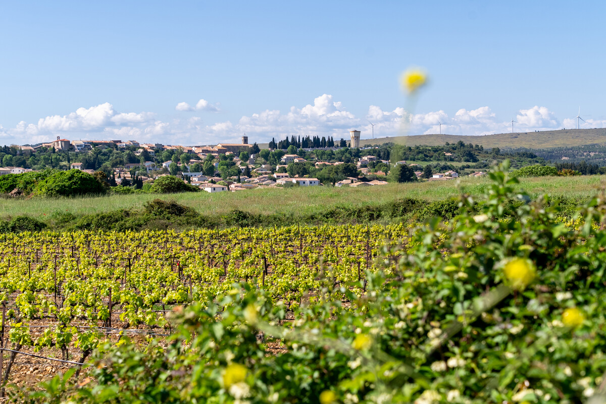
To the north of the Etang de Thau lie the hills of La Moure. In the commune of Villeveyrac, you'll discover the Saint-Farriol lake, the garrigue and its capitelles, before plunging into the Etang de Thau.
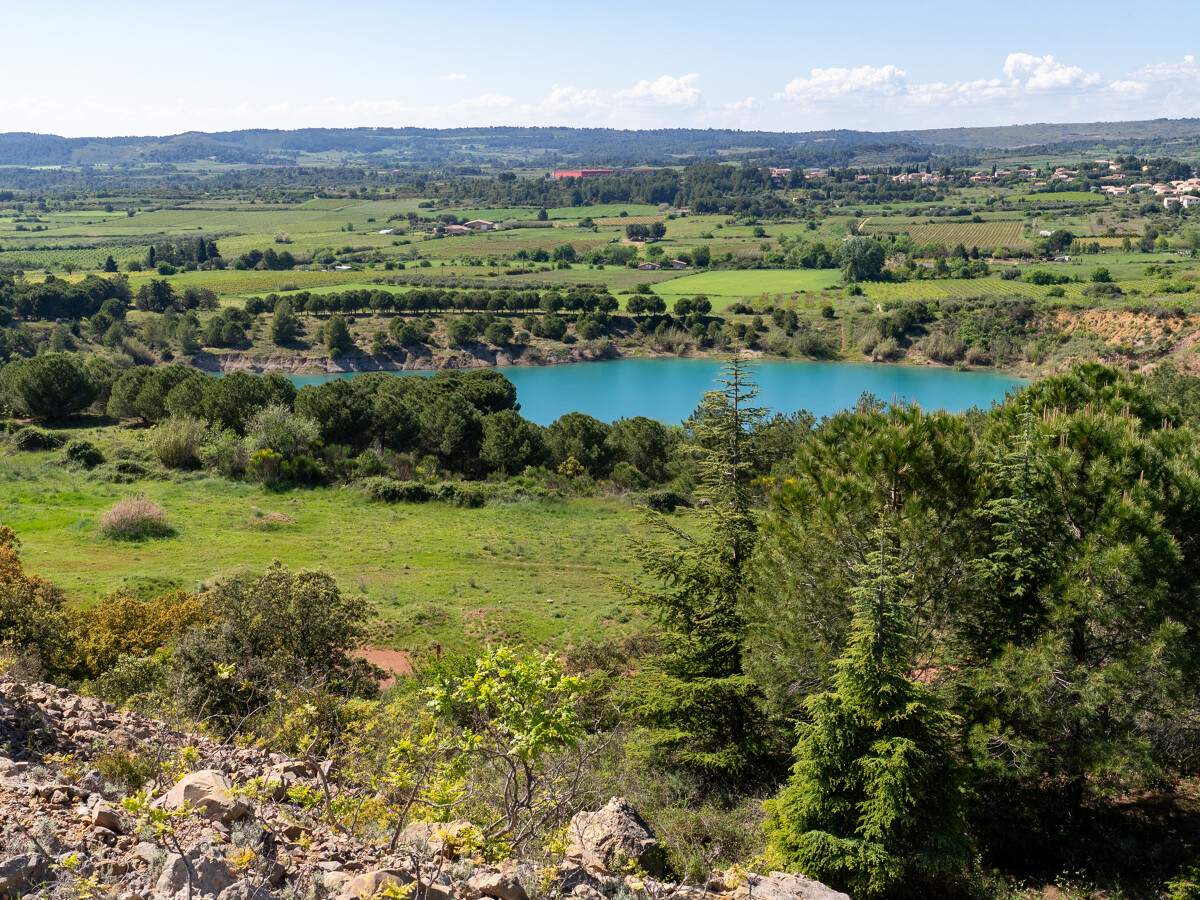
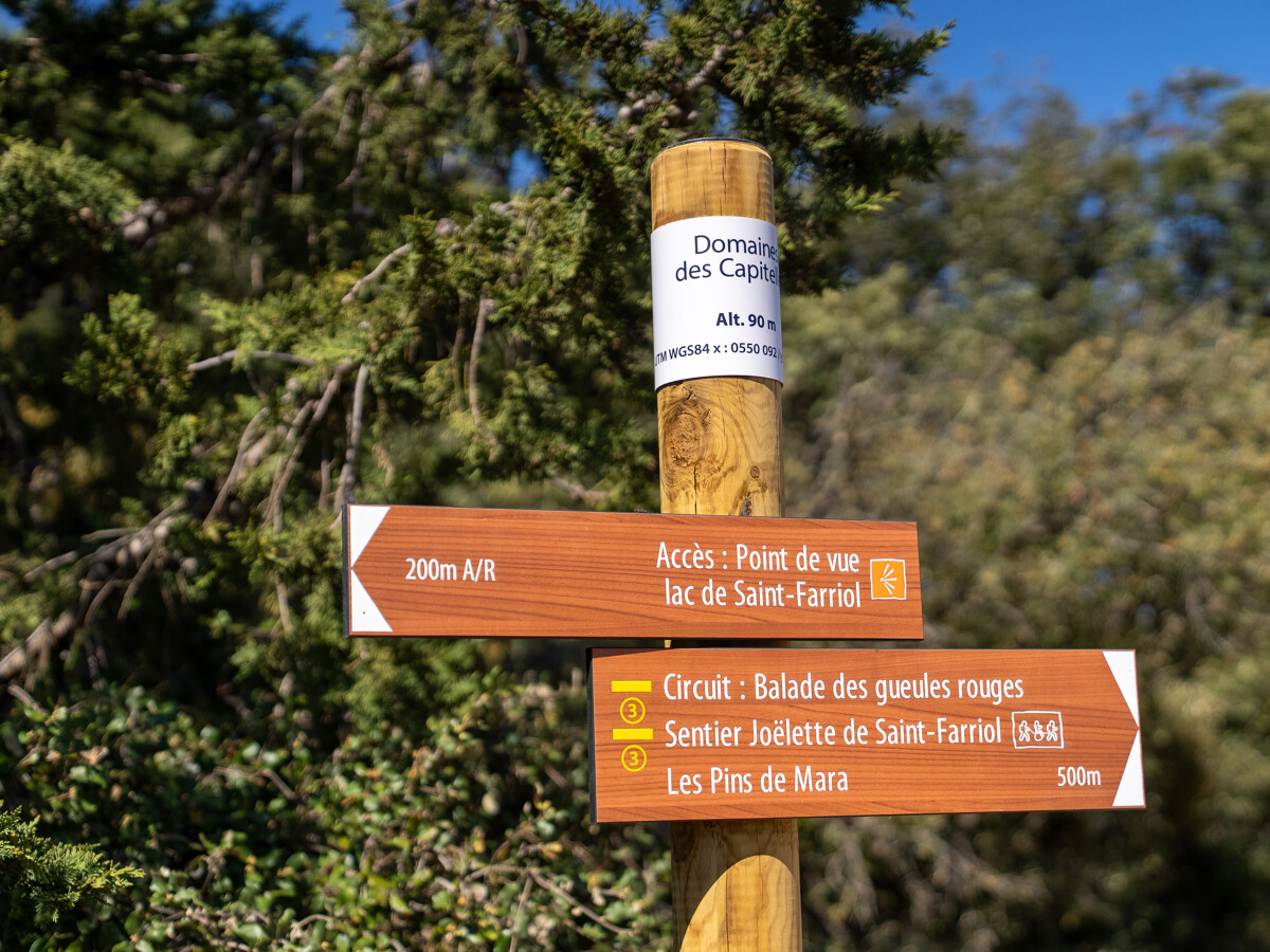
Views of Lake Saint-Farriol and the Villeveyrac plain are also accessible from a second departure point outside the village in the Cigales district, around the corner from the LPO, for people with reduced mobility who must be accompanied by the Mas Troquet association with a joëlette.
Views of Lake Saint-Farriol and the Villeveyrac plain are also accessible from a second departure point outside the village in the Cigales district, around the corner from the LPO, for people with reduced mobility who must be accompanied by the Mas Troquet association with a joëlette.
- Type d'itinéraire :
- Pédestre
- Thématique :
- Naturel
- Level :
- Beginner
- Distance :
- Distance 6
- Durée en heures :
- 02:00
- Dénivelé positif :
- Dénivelé 133
- Dénivelé négatif :
- Dénivelé négatif 133
- Itinéraire boucle :
- oui
- Balisage :
- Jaune PR
FICHE_INFO_TITRE_ACCESSIBILITE
||||||1||#||||||2||#||||||3||#||||||4||#||||||5||#||||||6||#||||||7||
Destination
RANDONNÉE BALADE DES GUEULES ROUGES
GPS coordinates
Latitude : 43.4798810
Longitude : 3.61331390