LE LAC DE SAINT-FARRIOL
VILLEVEYRAC


Presentation
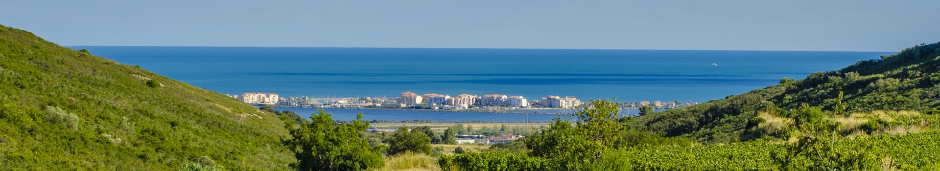
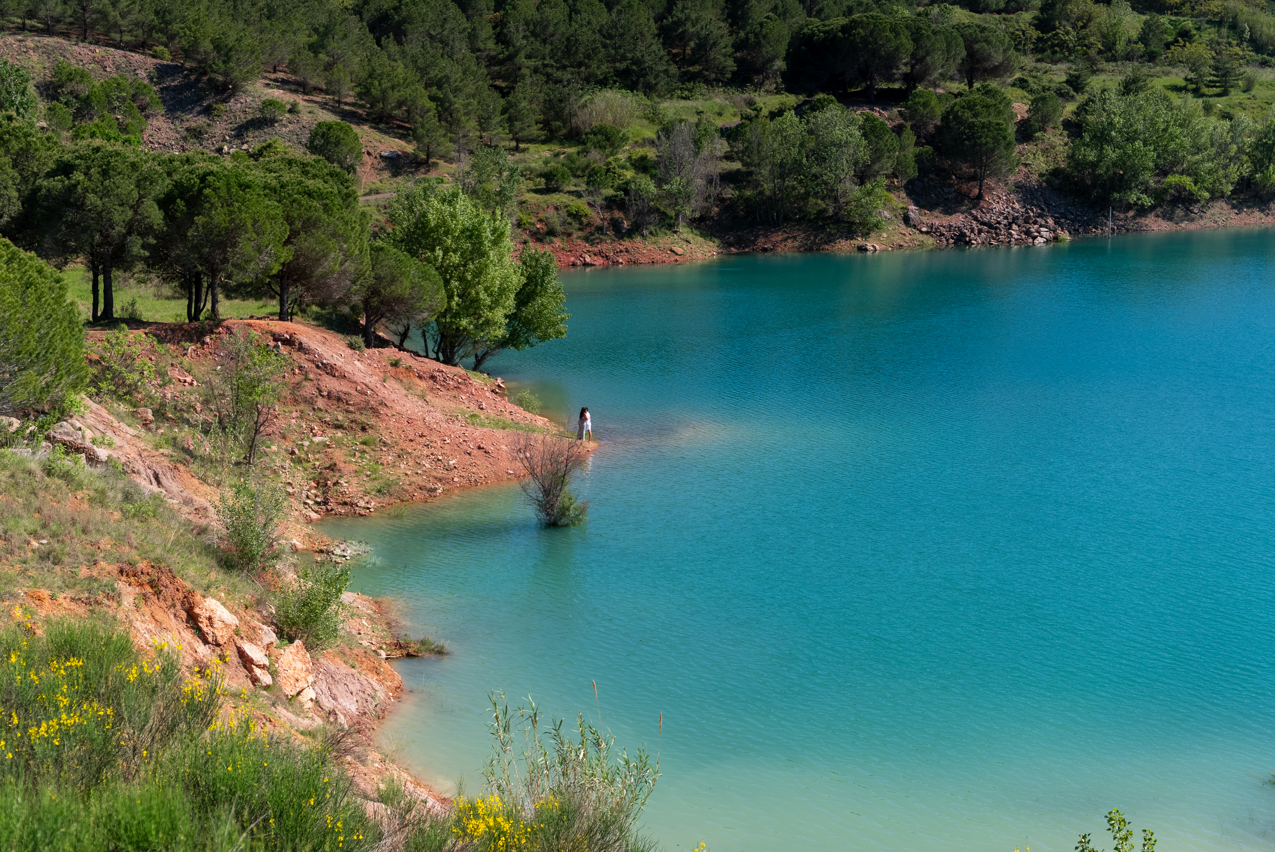
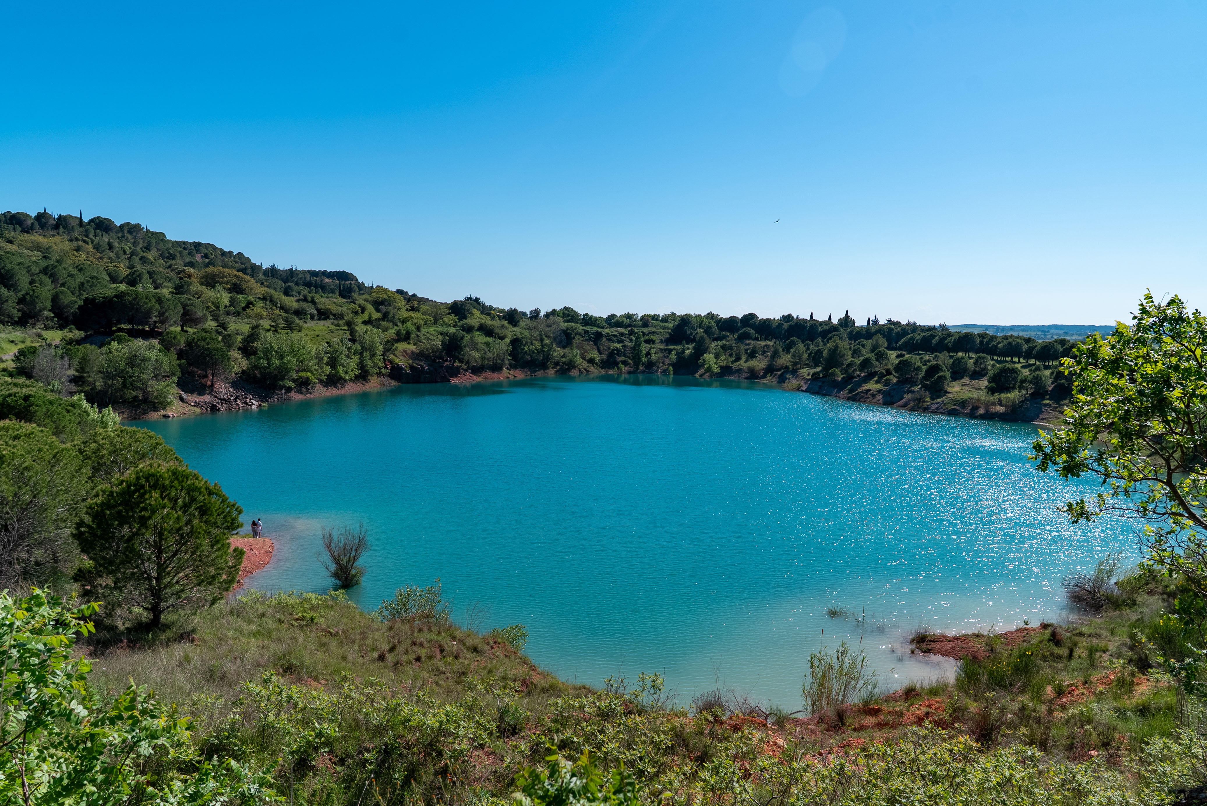
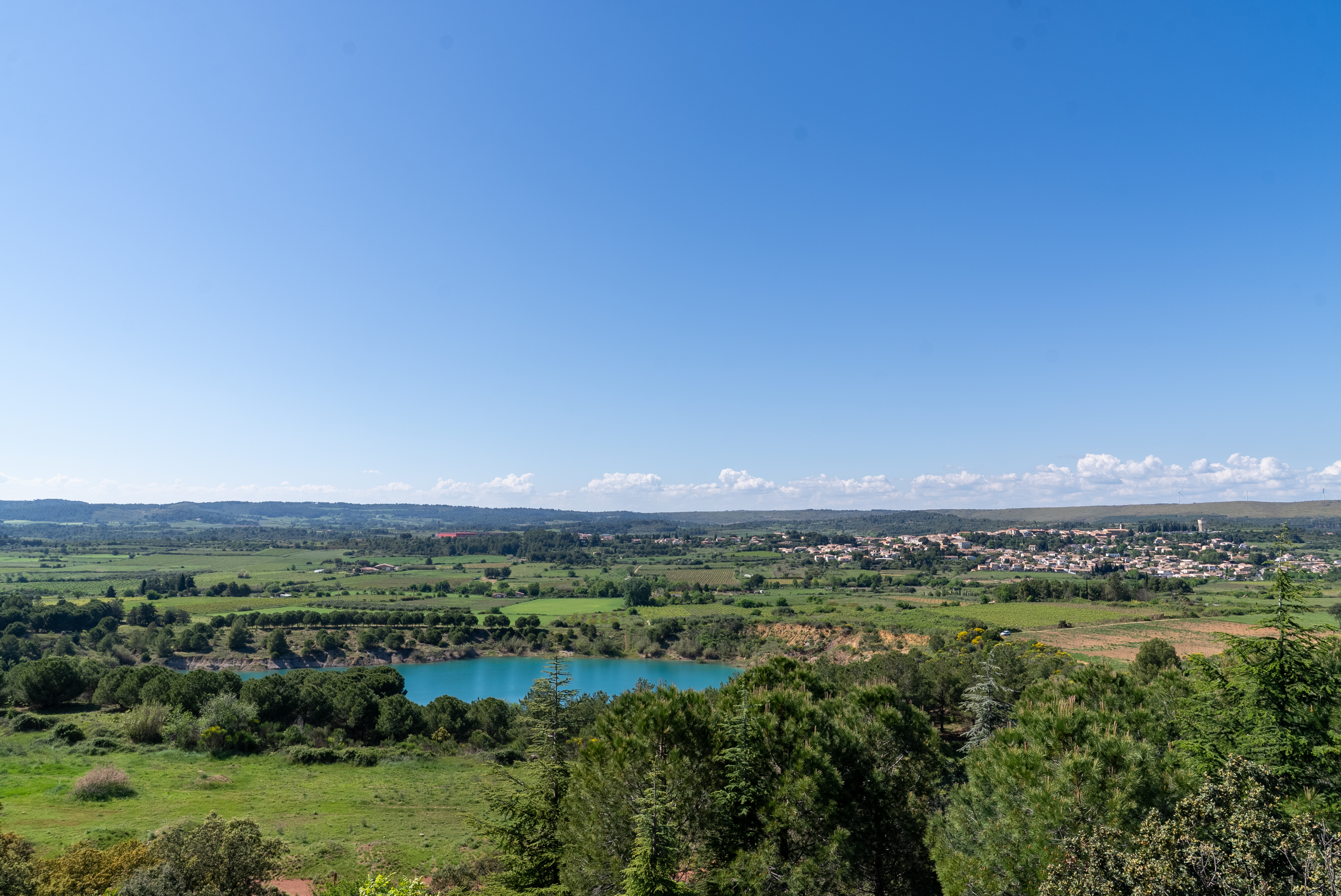
Just a stone's throw from the center of Villeveyrac, between garrigue, vineyards and hills, Lac de Saint-Farriol is as surprising for its origins as for its landscape. Born of former bauxite mining operations in the 20th century, this vast open-air body of water has gradually been transformed into a peaceful natural site, now frequented by walkers, the curious and lovers of panoramic views.
Accessible on foot from the village or from the Cigales district (via a joëlette-friendly path), the site offers a unique panorama of the Moure hills, the Villeveyrac plain, the wind turbines of the Causse d?Aumelas, and the silhouette of Mont Saint-Loup on the horizon. Overlooking the lake, you can see the history of the site: 800 meters of digging to extract bauxite, abundant groundwater discovered at a depth of 200 meters, and a basin that still irrigates almost 1,000 hectares of crops.
The surrounding countryside alternates between fragrant garrigue, pine forests, vineyards and capitelles, the typical 19th-century dry-stone huts you come across along the way. Several viewpoints offer contemplative pauses, ideal for photos or observation.
A walk accessible to all
The hiking trail is signposted and easy to access. Thanks to the Mas Troquet association and Sète Agglopôle Méditerranée, the site is also accessible by joëlette. A great local initiative for an inclusive nature walk.
The lake is not open to bathing.
During your visit, remember to preserve the beauty of this exceptional site by respecting the flora and fauna, as well as the tranquility of the area and other visitors who also come to enjoy this unspoilt natural setting.
- Equipment :
- Lacs et plans d'eau
Destination
LE LAC DE SAINT-FARRIOL
FJQ8+R4
34560
VILLEVEYRAC
GPS coordinates
Latitude : 43.4995870
Longitude : 3.6060490